When the plots thicken
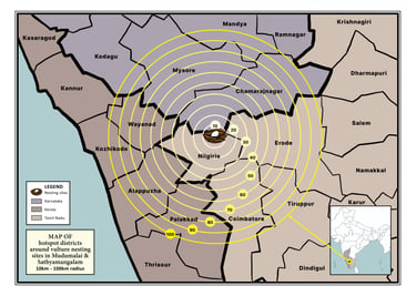
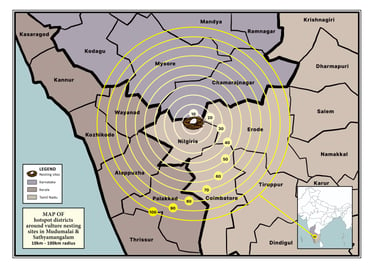
A MAP OF hotspot districts around vulture nesting sites in Mudumalai & Satyamangalam, marking the radius till 100km, at 10km intervals. For Arulagam.
I DON'T CLAIM TO BE A CARTOGRAPHER. But I love working with maps because of how much information can be packed into a single visual. Maps are, afterall, the OG infographics. Everything that came after have been standing on the grids, coordinates, and landmarks that maps introduced us to. Here are a few I've had a fun time creating, despite the bleak nature of some of them...
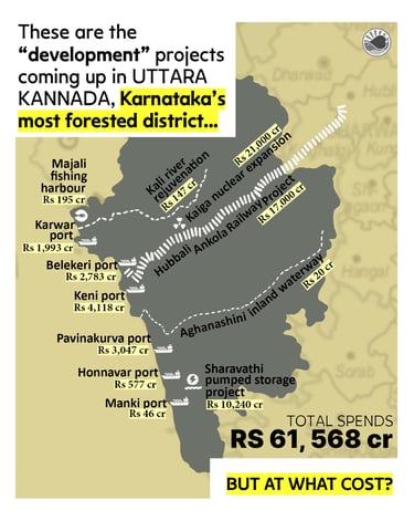
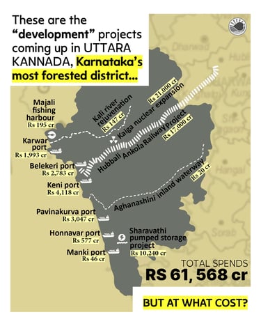
COMMERCIAL PORTS a few kilometres from each other. Plans to reroute the only Western Ghats river that’s not been dammed. A nuclear reactor contracted out to a private company.
A map of the development projects coming up in Uttara Kannada. For LEAF.
MAPS
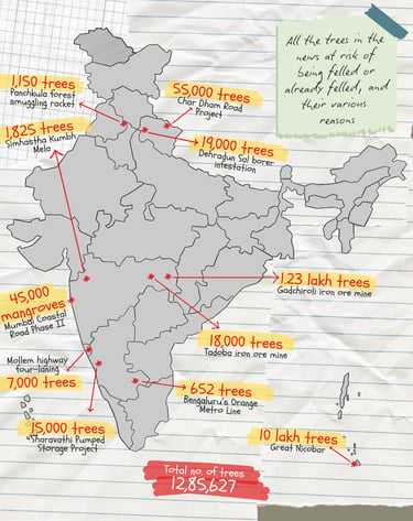
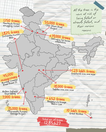
ALL THE TREES in the news at risk of being felled, or already felled, and their various reason. For LEAF.
Update: This project will turn into an interactive tree tracker.




Doing it in style
MANUALS
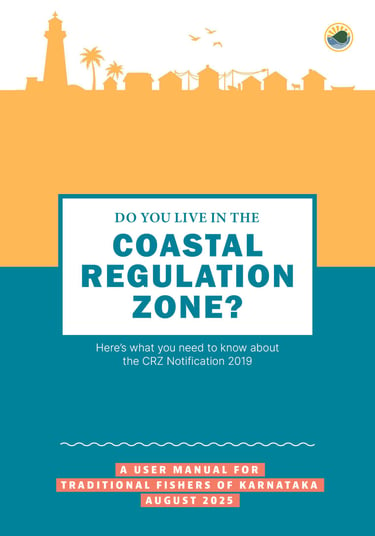
I create style guides, colour schemes and compose the design language for manuals and magazines

Invest in the attention economy!
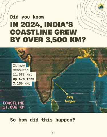
A collection of SOCIAL MEDIA carousels that get people to stop and stare →